What Is GeoBizz
GeoBizz is a cloud-based location intelligence and mobile engagement, map independent, database independent and cloud independent platform developed by Celata Tech.
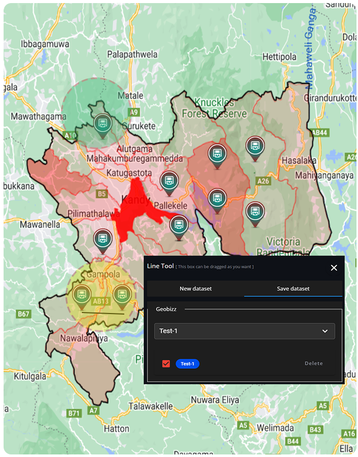
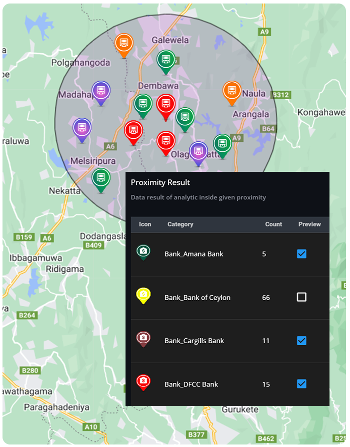
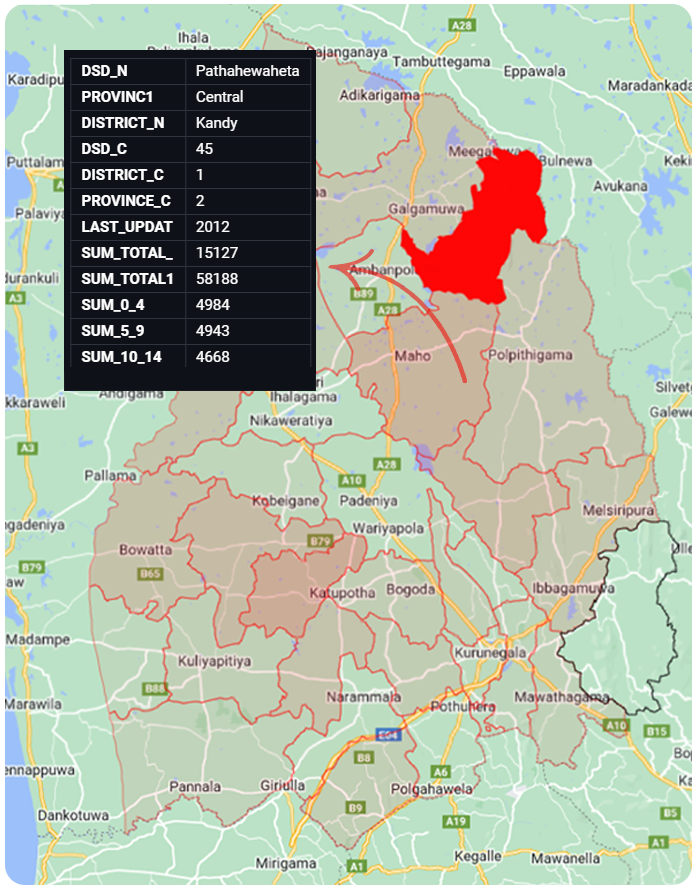
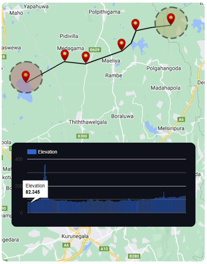
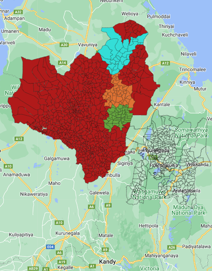
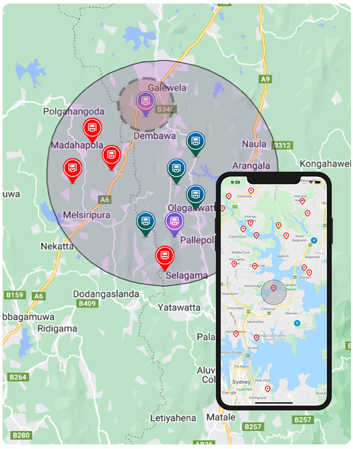
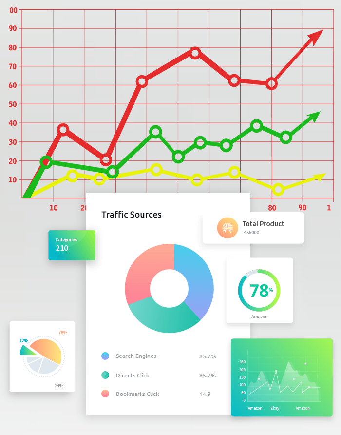
The data collected via GeoBizz APIs is synced with Google Maps on top of the GeoBizz platform and provide geospatial statistical analysis allowing businesses to evaluate the geographical patterns and trends that they are looking for in order to make more informed business decisions. With Celata's GeoBizz platform, any business can ensure that the right information reaches the right person at the right time, allowing them to make the best possible data-driven decision.
What problems we are solving ?
Our success as a species is now the very thing that threatens our survival. Geography has never been more crucial than it is today. What if we told you that your work, the billions of data points you generate, and the geographic approach you take are critical to our survival as a human race? Yes, it's indeed.
Stakes can not be any higher. Today's greatest challenge for the human race is figuring out how to grow while preserving what keeps us alive. The solution is your acceptance, sincerity, and behavior. You can see patterns and relationships and show how everything, and everyone is interconnected. Brining in Geospatial angle to a business, enterprise or organization with visualization, analytics, intelligence, decision support insights and a sustainable Geospatial strategy, is costly, time consuming, technologically challenging and require high end skillset. Problems Celata Tech solving for the customers.


What Geobizz offers ?
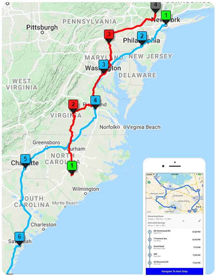
Celata's cutting edge GeoBizz platform is an unique platform where location data and spatial analysis can be used to help every industry to grow exponentially. Our GeoBizz platform expands the capabilities of your data, allowing you to draw more accurate conclusions. Geolocation data can help bankers, retailers or wholesalers better plan branch opening / store openings, location based performance analysis and product deliveries. The public can see how their money is being spent by government agencies. While responding to calls, firefighters can use digital floor plans, and hospitals can assess vaccine interest and forecast and determine epidemics and disease spreads. Agriculture sector can manage crops, harvest, pest attacks, fertilizer usage along with total estate management along with transportation management. This is possible because GeoBizz facilitates limitless access to geographical data and spatial analysis which can be integrated into almost any information system or mobile apps.
— Built-in tools to help design a geospatial strategy.
— Visual analytics cut down the time taken for strategy implementation & objective realization.
— Location intelligence and localized decisions optimizing business outcomes.
— Pre-loaded layers will save more than 80% of the project timeline.
— Visualization enables quick business transformation across geographies.
— Geospatial strategy implementation takes less skills & half the time, leading to high effectiveness.
— Work and effort on data analytic cycles.
— Highly affordable and time saving.

GeoSpatial Analysis on GeoBizz
Our Uniqueness in the Geospatial Solutions Market

Core Product
A Geospatial MIS solution platform
Maps & other layers
Can operate on any map engine & have own and customized map layers
Location data
Use Google Maps + layer-based core data
Solution
Total solution is provided to the client
Cloud hosting
Cloud platform independent
User acceptance
Highly user friendly and customizable due to MVC architecture
Visual data representation
High degree of visualizations via regular global map updates, street view, etc.
Development standards
Follows ISO Software development standard for and OWAP 10 and CIS 20 Security standards


