
Application Of GIS
GIS stands for Geographic Information System and refers to a system or a set of tools used for collecting, storing, analyzing, and presenting data that has a geographical or spatial component. GIS technologies enable users to create and manage geographic data, analyze spatial relationships, and visualize data on maps and in 3D environments. Some common applications of GIS include:
- Mapping and visualization : Creating maps, visualizing data, and analyzing geographic patterns.
- Spatial analysis: Analyzing spatial relationships, such as proximity, density, and patterns, and making predictions based on this analysis.
- Location-based services : Providing location-based information and services, such as navigation and finding nearby points of interest.
- Resource management : Managing natural resources, such as forests and water resources, and monitoring land use and land cover changes.
- Emergency management : Responding to natural disasters and other emergencies, such as tracking and analyzing the spread of diseases.
GIS technologies have grown significantly in recent years, with advancements in areas such as cloud computing, mobile computing, and big data analytics making it easier for organizations to access and use these tools.
- Application Of GIS
GIS has a wide range of applications across many different industries and fields. Here are some of the most common applications of GIS:
- Urban and regional planning : GIS is used for land use planning, urban design, and regional development, as well as for creating and managing land use databases.
- Natural resource management : GIS is used for managing and monitoring natural resources, such as forests, water resources, and minerals.
- Environmental management : GIS is used for environmental impact assessments, habitat mapping, and monitoring the spread of pollutants and other environmental hazards.
- Emergency response : GIS is used in emergency management and disaster response, including the tracking and analysis of the spread of diseases and natural disasters.
- Transportation : GIS is used for transportation planning, including the design and management of transportation networks and the analysis of traffic patterns.
- Market analysis : GIS is used for market analysis, including site selection, demographic analysis, and consumer behavior analysis.
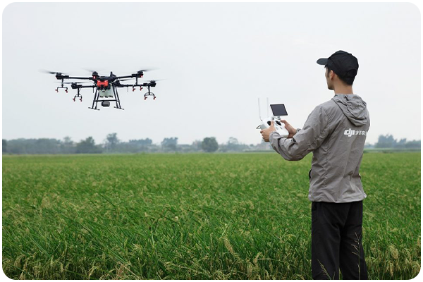
- Agriculture : GIS is used for precision agriculture, including the analysis of crop yields and the management of farmland.
- Healthcare : GIS is used for public health analysis, including the tracking and analysis of disease outbreaks and the planning of healthcare facilities.
- Defense and security : GIS is used in defense and security, including the analysis of military operations and the management of critical infrastructure.
- Archaeology : GIS is used in archaeology for mapping and analyzing archaeological sites, as well as for visualizing the distribution of artifacts and other cultural features.
- Crime analysis : GIS is used for crime analysis, including the mapping and analysis of crime patterns and the development of crime-fighting strategies.
- Telecommunication : GIS is used in the telecommunications industry for network planning, service provisioning, and network management.
- Insurance : GIS is used in the insurance industry for risk assessment, including the analysis of natural disasters, property values, and other risk factors.
- Energy : GIS is used in the energy industry for the analysis of energy demand and supply, as well as for the management of energy resources and the planning of energy infrastructure.
- Conservation : GIS is used in conservation biology and ecology for the analysis of habitat and species distribution, as well as for the management of protected areas.
- Water resources : GIS is used for water resources management, including the analysis of water availability, water quality, and water use patterns.
- Education : GIS is used in education for geography and environmental science education, as well as for the analysis of student demographics and school district planning.
It's not possible to list all of the applications of GIS, as new applications are constantly being developed. However, examples provided above give a good sense of the wide range of industries and fields where GIS is used. GIS can be applied to virtually any field or industry that involves the analysis of geographic data, and its versatility makes it a valuable tool for organizations and individuals working in a wide range of fields and industries. Some other possible applications of GIS include:
- Election analysis
- Meteorology and weather forecasting
- Water resource management
- Geohazard analysis and disaster management
- Agriculture and forestry
- Marketing and advertising
- Geology and earth sciences
- Social sciences and demographics analysis
- Crime analysis and law enforcement
- Government and public administration
It's worth noting that GIS is not limited to these applications, and new applications are being developed all the time. The versatility of GIS makes it a valuable tool for organizations and individuals working in a wide range of fields and industries, and its continued growth and development ensures that it will remain a valuable tool for years to come.