
GeoBizz helps in planning distribution areas by:
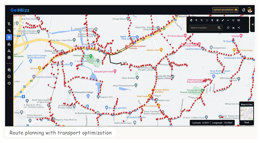
- Mapping data : mapping and visualizing data related to customer demographics, current distribution centers, and transportation networks to identify the best locations for new distribution centers.
- Spatial analysis : performing spatial analysis to determine the optimal location of new distribution centers based on factors such as distance to customers, proximity to transportation networks, and access to resources.
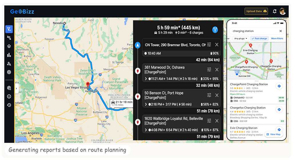
- Routing and optimization : generating optimized routes for delivery vehicles, taking into account factors such as road network, traffic, and delivery time windows to ensure efficient and cost-effective distribution.
- Visualization : creating visual representations of distribution areas, making it easier for planners to understand and analyze data and communicate findings to stakeholders.
- Real-time updates : providing real-time updates on the distribution network, allowing planners to respond quickly to changes in demand and other factors that may impact distribution operations.


